Random US State Generator
A random US state generator draws one of the 50 states, each with a 1 in 50 chance; Washington, D.C. can be added as a 51st entry. Press Pick states, set How many to 50 with repeats off for every state in random order, or narrow the draw to a Census Bureau region or one of its nine divisions.
Result
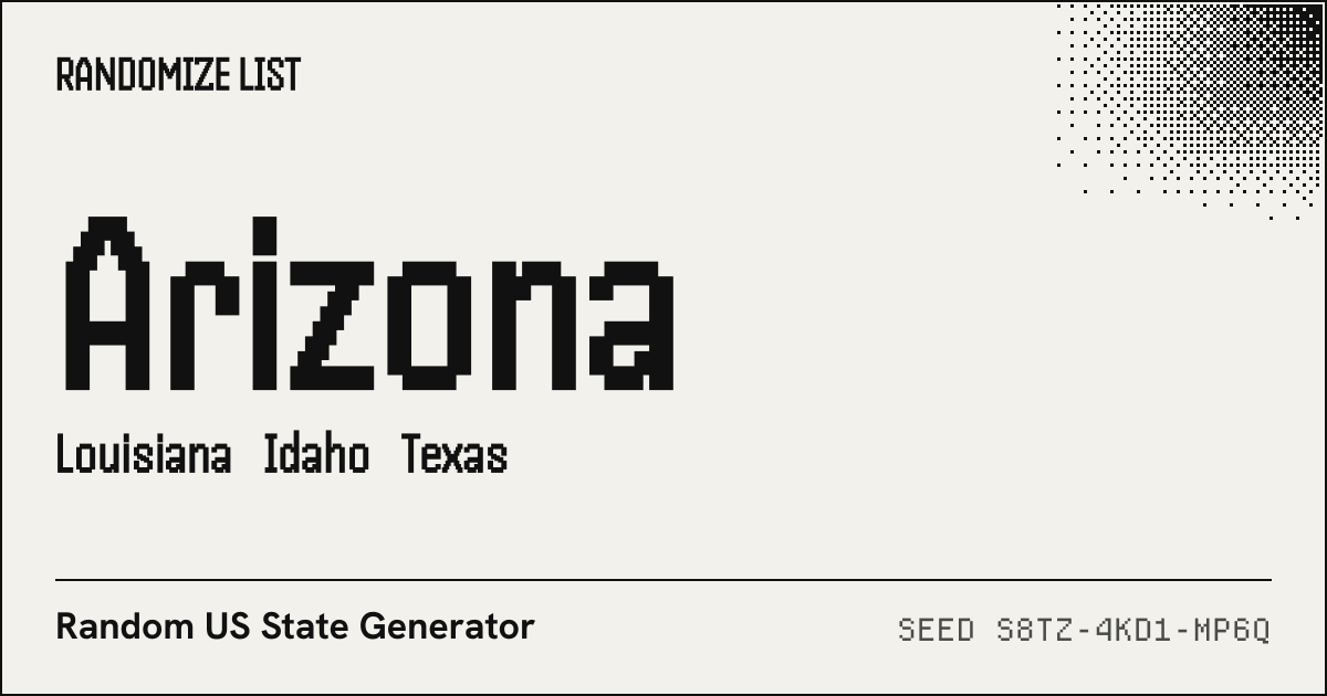
- 01 Arizona AZ · Mountain
- 02 Louisiana LA · West South Central
- 03 Idaho ID · Mountain
- 04 Texas TX · West South Central
How do I draw a random state?
- Keep all four regions, or tick the ones you want, or narrow to a single Census division.
- Type the number of states; 50 with repeats off lists every state once in random order.
- Press Pick states. Each result shows the postal abbreviation and the division it belongs to.
The sample above draws 4 of the 50 states with seed S8TZ-4KD1-MP6Q: Arizona (AZ), Louisiana (LA), Idaho (ID), Texas (TX). Road-trip games, geography quizzes and “where should we go next” all start the same way. If your list is different, say the states your team covers, paste your own list and the list randomizer will shuffle or pick from it.
Census regions and divisions
The filters follow the Census Bureau’s map of regions and divisions: 4 regions split into 9 divisions. The Bureau notes on the same map that the Midwest was called the North Central Region until June 1984. With no filter every state has a 1 in 50 chance, so a region’s share of a draw is its count of states out of 50.
| Region | Divisions (states) | States | Share |
|---|---|---|---|
| Northeast | New England (6), Middle Atlantic (3) | 9 | 18% |
| Midwest | East North Central (5), West North Central (7) | 12 | 24% |
| South | South Atlantic (8), East South Central (4), West South Central (4) | 16 | 32% |
| West | Mountain (8), Pacific (5) | 13 | 26% |
Washington, D.C.
The District of Columbia is not a state, so it stays out of the draw unless you tick Include Washington, D.C. When it is in, the pool has 51 entries. The Census Bureau places it in the South Atlantic division of the South, with FIPS code 11, and the Postal Service abbreviates it DC. Puerto Rico, Guam and the other territories that have USPS abbreviations are not in this list.
All 50 states with their codes
The two-letter codes are the USPS abbreviations from Publication 28; the two-digit codes are the state FIPS codes the Census Bureau prints on its regions map. FIPS numbers follow the alphabetical order of the names, D.C. included, but skip some numbers, so Wyoming is 56 rather than 51.
| State | USPS | FIPS | Division | Region |
|---|---|---|---|---|
| Alabama | AL | 01 | East South Central | South |
| Alaska | AK | 02 | Pacific | West |
| Arizona | AZ | 04 | Mountain | West |
| Arkansas | AR | 05 | West South Central | South |
| California | CA | 06 | Pacific | West |
| Colorado | CO | 08 | Mountain | West |
| Connecticut | CT | 09 | New England | Northeast |
| Delaware | DE | 10 | South Atlantic | South |
| Florida | FL | 12 | South Atlantic | South |
| Georgia | GA | 13 | South Atlantic | South |
| Hawaii | HI | 15 | Pacific | West |
| Idaho | ID | 16 | Mountain | West |
| Illinois | IL | 17 | East North Central | Midwest |
| Indiana | IN | 18 | East North Central | Midwest |
| Iowa | IA | 19 | West North Central | Midwest |
| Kansas | KS | 20 | West North Central | Midwest |
| Kentucky | KY | 21 | East South Central | South |
| Louisiana | LA | 22 | West South Central | South |
| Maine | ME | 23 | New England | Northeast |
| Maryland | MD | 24 | South Atlantic | South |
| Massachusetts | MA | 25 | New England | Northeast |
| Michigan | MI | 26 | East North Central | Midwest |
| Minnesota | MN | 27 | West North Central | Midwest |
| Mississippi | MS | 28 | East South Central | South |
| Missouri | MO | 29 | West North Central | Midwest |
| Montana | MT | 30 | Mountain | West |
| Nebraska | NE | 31 | West North Central | Midwest |
| Nevada | NV | 32 | Mountain | West |
| New Hampshire | NH | 33 | New England | Northeast |
| New Jersey | NJ | 34 | Middle Atlantic | Northeast |
| New Mexico | NM | 35 | Mountain | West |
| New York | NY | 36 | Middle Atlantic | Northeast |
| North Carolina | NC | 37 | South Atlantic | South |
| North Dakota | ND | 38 | West North Central | Midwest |
| Ohio | OH | 39 | East North Central | Midwest |
| Oklahoma | OK | 40 | West South Central | South |
| Oregon | OR | 41 | Pacific | West |
| Pennsylvania | PA | 42 | Middle Atlantic | Northeast |
| Rhode Island | RI | 44 | New England | Northeast |
| South Carolina | SC | 45 | South Atlantic | South |
| South Dakota | SD | 46 | West North Central | Midwest |
| Tennessee | TN | 47 | East South Central | South |
| Texas | TX | 48 | West South Central | South |
| Utah | UT | 49 | Mountain | West |
| Vermont | VT | 50 | New England | Northeast |
| Virginia | VA | 51 | South Atlantic | South |
| Washington | WA | 53 | Pacific | West |
| West Virginia | WV | 54 | South Atlantic | South |
| Wisconsin | WI | 55 | East North Central | Midwest |
| Wyoming | WY | 56 | Mountain | West |
List checked against U.S. Census Bureau and United States Postal Service on .
Questions about random states
How do I pick a random US state?
A random US state is one of the 50 states drawn with a 1 in 50 chance. On the US state generator, press Pick states with the settings as they are; raise How many for several states, with repeats off so none comes up twice.
Is Washington, D.C. included?
Washington, D.C. is in the draw only if you tick Include Washington, D.C. It is not a state, so the default pool is the 50 states; with the box ticked the pool has 51 entries.
What are the four US Census regions?
The four US Census regions are Northeast (9 states), Midwest (12), South (16 states plus D.C.) and West (13). Each region splits into two or three divisions, nine in all, such as New England or Pacific.
Are US territories such as Puerto Rico included?
No. The US state generator leaves out Puerto Rico, Guam, the Virgin Islands and the other territories: they have USPS abbreviations but are not states.